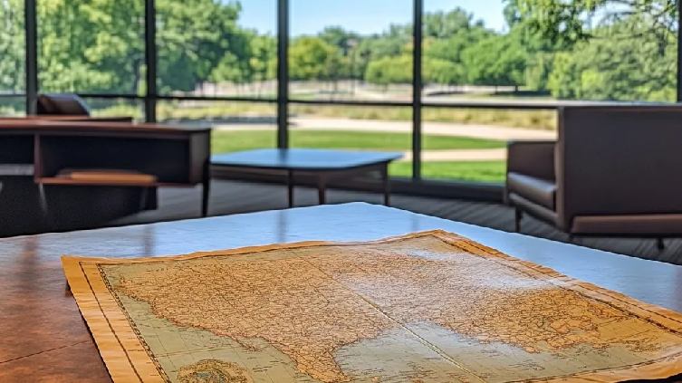
Remember those old family trees, the ones carefully drawn out by hand, maybe tucked away in a dusty album? They’re full of names and dates, but sometimes it’s hard to really picture where those people lived, the world they knew.
Well, there’s a fascinating new way to bring those stories to life: genealogy maps. You can use them to see where your great-grandparents came from, tracing their journey across the ocean, or finding the little village where your family first settled generations ago.
They aren’t just for history buffs; they’re a wonderful way for anyone, especially those of us who’ve been thinking about our roots, to connect with our lineage and finally get a real sense of our family’s story.
» Visualize your ancestry by building a family tree
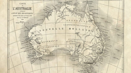
What is a genealogy map?
The term “genealogy map” refers to various maps that help your research by showing buildings, events, and people in a specific area and period.
There are many types of maps that you can use to solve problems or answer questions in genealogy, which you can see below
1. City and county maps
Maps of cities, towns, and communities provide insights into key natural, political, economic, social, and cultural institutions and resources. Many include historical details, such as the development of transportation systems — railroads and ferries — or changes in streets, buildings, and businesses.
All of these resources may have shaped where and how your ancestors lived, worked, and moved. If you have a famous person in your family tree, you might even find details about them in this kind of genealogical map.
2. Property maps
Property maps identify landowners in a particular area. You can find them through tax records, plat maps, wills, probate records, and deeds. Suppose you’re researching your great-great-grandfather’s farm in Ohio. You could reveal his exact location, business partners, and extended family members by combining property taxes with tax and land records.
3. Census maps
Census maps show how authorities divided cities and counties for census-taking purposes. If you want to know in which part of the city your ancestor lived, you need to understand these divisions.
For example, they are listed in “Ward 3” of a city in 1880, you could use a census map from to pinpoint their exact neighborhood, even if street names have since changed. You can also find the exact location of records with details about him, even if county or district boundaries shifted over time.
4. Topographical Maps
In topographical maps, you’ll find rivers, lakes, mountains, and hills — they could have influenced your ancestor’s migration route. Let’s say they settled near the Mississippi River.
You could use this genealogy map to determine if they worked as a trader, fisherman, or if they toiled on a riverboat. At the same time, a mountain range next to that river would explain why they took a longer migration route rather than a direct path.
» Get an in-depth look at global migration routes and track your ancestor
Using genealogy maps to trace ancestors
You can learn more about migration patterns, social influences, and even everyday life by analyzing old maps alongside census records, land deeds, and personal narratives.
Below, we explore two concrete examples of genealogy maps and give you step-by-step instructions on how to use them effectively.
1. Gold Rush Migration map
The Gold Rush routes map shows the three primary routes miners used during the California Gold Rush. You can research them to track your ancestor’s migration path and compare it to broader migration trends.
How to use it:
- Identify your ancestor’s location: Find their last known residence before migration using census records, newspapers, or family documents.
- Cross-reference with migration routes: Compare their likely travel path against the Gold Rush map. Did they take the overland route, Panama shortcut, or a sea voyage around Cape Horn?
- Search supporting records: Look for evidence in land grants, tax records, or gold mining claims. If they traveled with a group, research known wagon trains or ship manifests.
- Analyze social and environmental context: Research the communities and groups they may have encountered along the way, such as indigenous groups, foreign miners, or lawless mining towns.
This genealogy map helps reconstruct not only where an ancestor traveled but also why. Let’s say a gold miner named Thornton Bridgeman arrived in Calaveras County from Virginia in 1850. You could use a Gold Rush map to find the routes he took.
Then, you can pinpoint when he left Virginia by researching historical events at the time. You can also check if he traveled alone or in a group, and the challenges he faced—famine, disease, or economic hardship. You might even find property deeds, probate records, or mining claims locations.
» Learn more about the Californian Gold Rush
2. Sanborn Fire Insurance map
Sanborn Fire Insurance map gives you a detailed view of urban properties, businesses, and infrastructure. They are color-coded to show construction materials, building use, and fire hazards.
You can use these genealogy maps to reconstruct what your ancestor’s neighborhood looked like, take notes of their living conditions.
How to use it:
- Find your ancestor’s address: Use census records, city directories, or land records to locate their residence.
- Locate the property on the map: Search online archives — such as the Library of Congress or local historical societies — for the Sanborn map of that city and timeframe.
- Analyze property and surroundings: Determine if the home was a wood frame (high fire risk), brick (safer), or a mixed-use building (e.g., living above a shop). Look for nearby railroads, factories, or local businesses that may have influenced their lifestyle.
- Compare maps over time: If the family moved frequently, track their migration within the city and examine why — e.g. job changes, disasters, urban development.
I learned that my uncle’s maternal grandparents lived in a rear-division wood frame house, categorized as a high fire risk by studying Houston’s Sanborn Fire maps (1900–1910). Despite frequent moves, they stayed near the railroad, which aligned with the grandfather’s job as a railroad switchman.
This discovery confirmed grandfather’s employment details and gave me insight into their economic and social struggles at the time — i.e. their need to remain close to work despite hazardous living conditions.
» Look into the devastating consequences of the 1871 Chicago fire
3 tips for using genealogy maps effectively
Tip 1: Use geographical information systems to track changes over time
- Why? Geographical information systems let you overlay historical maps onto modern landscapes to see changes over time.
- How? Browse online tools or historical imagery to compare defunct townships, rerouted rivers, or demolished buildings.
Tip 2: Consult a gazetteer for precise coordinates
- Why? A gazetteer — a geographical dictionary — provides a location’s coordinates and history.
- How? Use its details to search for missing land deeds, tax records, or migration documents in the correct jurisdiction.
Tip 1: Compare historical and modern place names
- Why? Place names, boundaries, and street addresses change over time.
- How? Use city directories, old newspapers, and historical atlases to match old locations with modern maps.
» Browse leading publications and find information on your ancestor
Advanced mapping tools for genealogy
Maps, when combined with DNA results, census records, and historical context, can give compelling evidence your ancestor’s journey.
For example, you can create a family tree using MyHeritage. Then, take advantage of the PedigreeMaps algorithm, which will use your family tree data to pinpoint your genetic origins by region. Why is this useful? It’ll help you find family records, confirm oral histories, and tack lost migration paths.
3 resources to find easily find genealogy maps
Resource 1: Physical archives
- Library of Congress and National Archives: Find digitized maps [1, 2].
- University map libraries: Get historical land surveys and atlases.
Resource 2: Online digital map resources
- David Rumsey Map Collection: Find free historical maps worldwide [3].
- Newberry Library’s ‘Atlas of Historical County Boundaries’: Track U.S. border changes [4].
Resource 3: Expert help and research assistance
- The Library of Congress ’ ‘Ask a Librarian’: It can guide you to a genealogy map remotely. When contacting archivists, clearly define your research question for the best results [5].
- Local historical societies and municipal offices: These organizations can help you find property records and city plans.
» Visiting a place where your ancestor used to live? Plan your trip properly
Visualizing your ancestors’ world
As you’ve seen, genealogy maps are more than just pretty pictures; they are powerful tools that can fundamentally change how you understand your family history.
By visually placing your ancestors in their geographical context, you gain invaluable insights into their lives, their migrations, and the world that shaped them.
From tracing migration patterns across continents to pinpointing the very streets where generations lived, genealogy maps add an exciting and deeply meaningful dimension to your research journey.
To further enhance your experience of visualizing your ancestors’ world within MyHeritage, we encourage you to explore MyHeritage Family Pedigree Maps. You can use it to automatically plot your ancestors’ life events directly onto interactive maps, bringing your family tree to life in a whole new way!